Using satellite maps, I looked at the trails and roads going through the area to plot my route. I loaded the route into my GPSr and off I went.

I had to ride 20 miles just to get to the gravel section. I left the house at 7 a.m. so these guys were pretty much the only other souls who were out and about besides me and a few fishermen.
The first few miles of gravel were wide and smooth. I saw about a half dozen deer and an equal number of rabbits. The road then got narrower and I came upon my first obstacle.

I had to do the limbo to get under this tree.

The 2 inch wide tires I have on the trucker handled this terrain much better than the 38 mm ones on my Scott. I didn't break any spokes either, unlike last time.
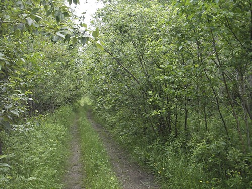
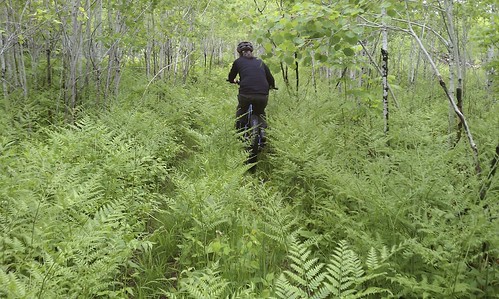
The further I went, the narrower it got. The low branches were a good reason to ride in the drops.
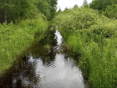
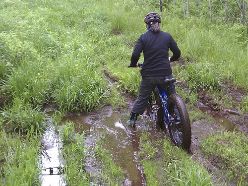
I took my chances and rode through this. It ended up being deep enough so that my shoes went in the water as I pedaled.
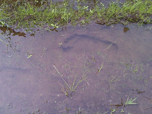
A little bit further down the trail I ran into this little lake/river. I was much deeper then the first, and water was flowing down the trail for as far as I could see. I could have carried the bike and waded through, but I wasn't feeling that adventurous, so I turned around to find another way. I remembered from the satellite map that a side trail I passed further back looped around and met up with this trail again, hopefully somewhere after the water.

Just before rounding a curve on the second trail I heard the sound of running water. Luckily this water flowed underneath through a culvert.
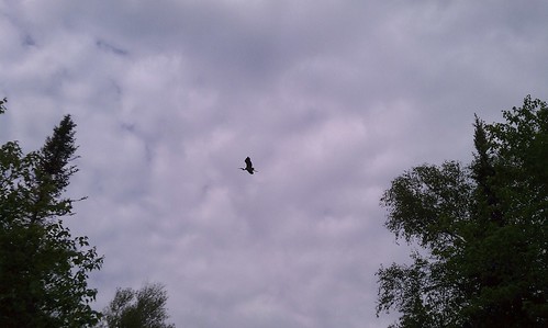
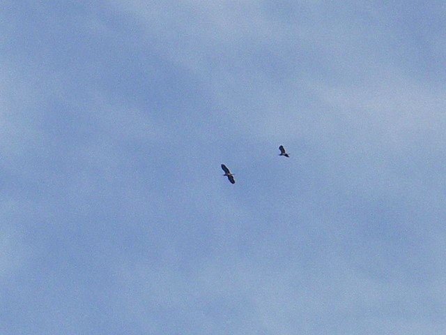
Sometimes taking a different path can lead to good things. This great blue heron circled around me as I stopped to enjoy the scenery.

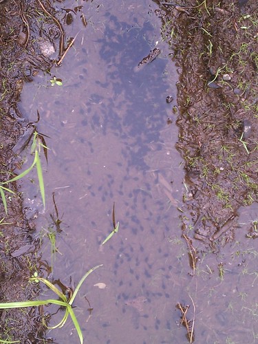
Further up the trail I came across a muddy area filled with wolf and deer tracks. Unfortunately, or maybe fortunately, no wolves were to be seen.
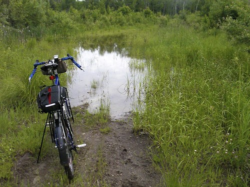
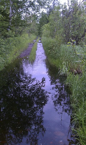
Finally, after 2 miles on this second trail, I came to the end of the line. This water was deep enough that I could hear green frogs calling along the side of the trail (they don't like it shallow). There was no way around, so I knew that today wouldn't be the day to find the passage. I'm pretty sure if we hadn't received 2+ inches of rain this week it would have been dry enough to make it through. I'll be trying again after we get a little dry spell.
Switch the map below to satellite and zoom in to see where I was headed.